Al Baha covers a stretch of the Sarawat mountain range between Taif and Asir, known locally for juniper forests that cover its higher slopes, a rarity in the Arabian Peninsula, and for a noticeably cooler climate than the surrounding lowlands. Traditional stone and mud villages sit on hilltops throughout the region, built for defence in an earlier era and now mostly quiet.
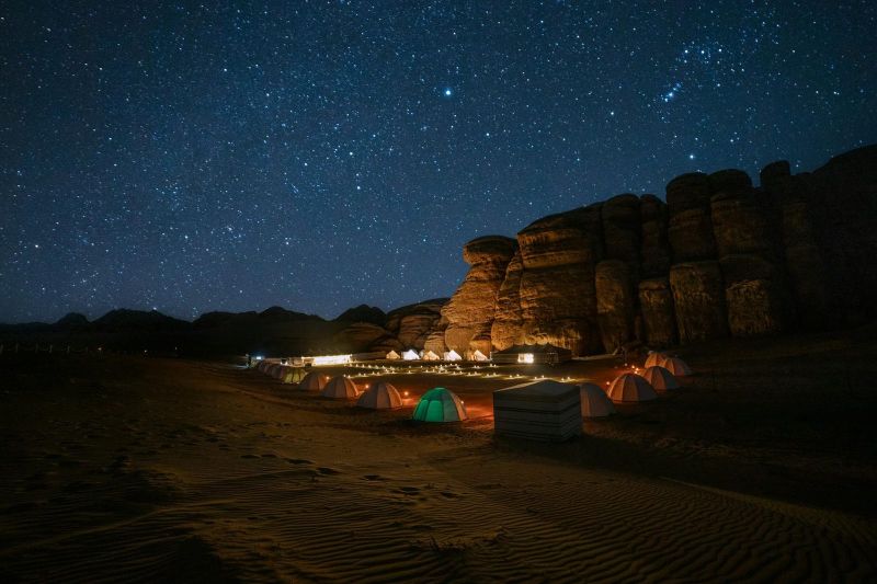
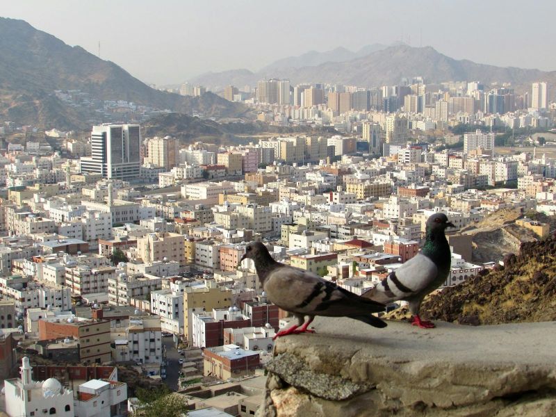
Taif sits in the mountains above Makkah, high enough to run several degrees cooler than the coast, which has made it a traditional retreat from the Hejaz heat for generations. The hills around the city are planted with Taif roses, harvested each spring for attar, a concentrated rose oil produced locally and sold across the country.
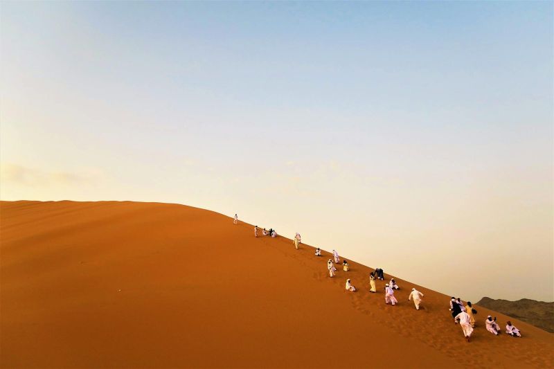
Tabuk's position in the northwest of the country has made it a waypoint for centuries, sitting on the old pilgrimage and trade route linking the Levant to Madinah, and it kept that role through the Hejaz Railway era in the early 20th century. The old Tabuk Castle in the city centre dates to the Ottoman period and marks that history.
Wadi Disah cuts through the sandstone plateau of northwest Saudi Arabia, a valley thick with date palms fed by a seasonal stream, enclosed by steep rock walls on both sides. The contrast between the green valley floor and the dry rock above it is the main draw, along with small farming settlements that still work the land along the wadi.
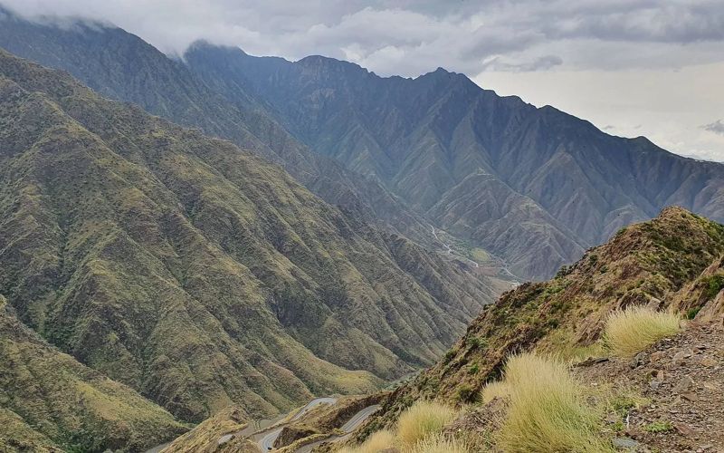
Abha is the main city of Asir, built high enough in the Sarawat Mountains, over 2,000 metres above sea level, that its climate runs noticeably cooler and wetter than almost anywhere else in Saudi Arabia. Mist and seasonal rain are common, giving the surrounding hillsides a green cover that is unusual for the country.
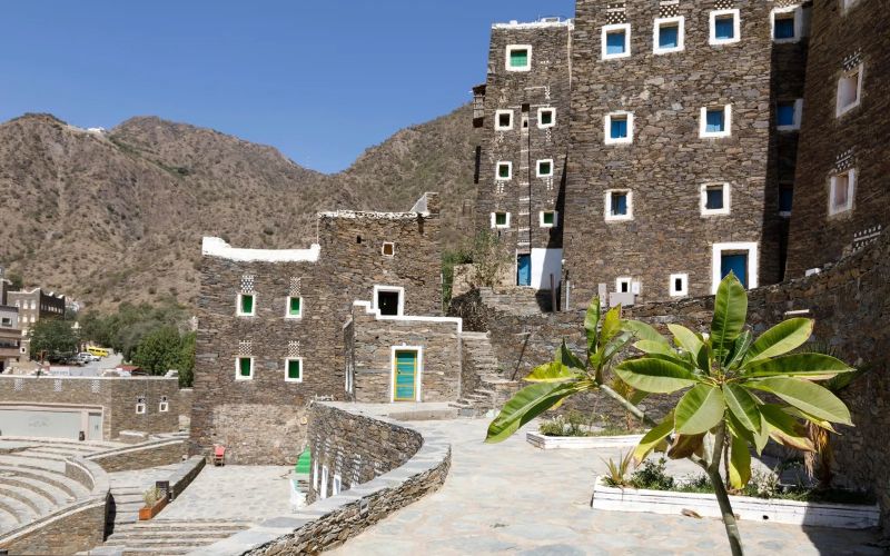
Rijal Almaa is a mountainside village in Asir built almost entirely from stacked stone, its tower houses rising several storeys and finished with bands of white quartz and painted geometric patterns that mark out each household's work. The style is unique to this part of southwestern Saudi Arabia and has no close equivalent elsewhere in the country.
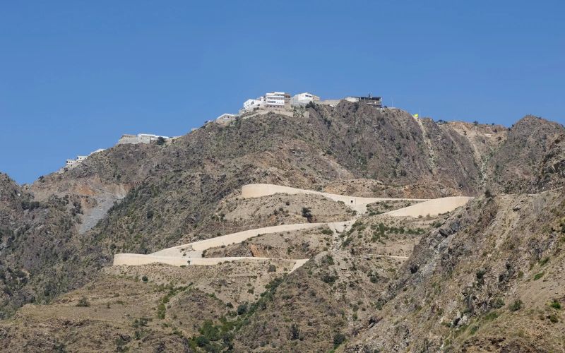
Mount Uhud rises north of Medina and gives its name to the Battle of Uhud, fought at its base in 625 CE between early Muslims and the Quraysh of Makkah. The cemetery at the foot of the mountain holds the graves of Muslims who died in the battle, including the Prophet's uncle Hamza, and is the main focus of a visit today.
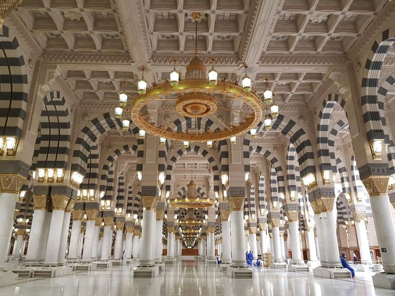
Masjid al-Qiblatayn, the "Mosque of the Two Qiblas," marks the place where, according to tradition, the direction of prayer changed mid-prayer from Jerusalem to Makkah, a defining moment in early Islamic practice that gives the mosque its name. The building has been rebuilt since, but the significance of the location has kept it on the standard list of Medina sites to visit.
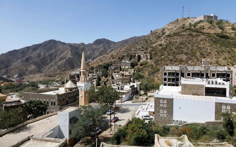
Quba Mosque sits a short drive from the centre of Medina, on the spot where the Prophet Muhammad is said to have stopped and prayed on his migration from Makkah, making it the first mosque built in Islam. The current building has been rebuilt and expanded many times since, most recently with a large modern extension, but the site's significance is in its founding, not its current architecture.
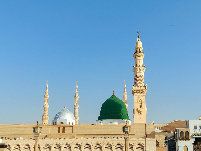
Al-Masjid an-Nabawi, the Prophet's Mosque, was originally built next to the Prophet Muhammad's house after his migration from Makkah in 622 CE, and has grown over the centuries into one of the largest mosques in the world. Its green dome, visible across the city, marks the Prophet's tomb, making the mosque the second holiest site in Islam after the Holy Mosque in Makkah.
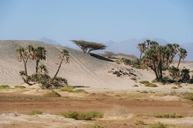
Muzdalifah lies between Arafat and Mina, and pilgrims pass through it on the night following the Day of Arafah, stopping to pray and rest under the open sky before continuing to Mina. It is also where many pilgrims collect the small stones used in the stoning ritual at Mina.
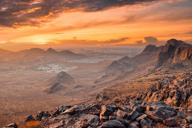
Mina sits between Makkah and Arafat, and for most of the year it is a quiet valley of permanent tent infrastructure. During Hajj it becomes a temporary city housing well over a million pilgrims, who stay here for the days when the ritual of stoning the Jamarat pillars takes place.
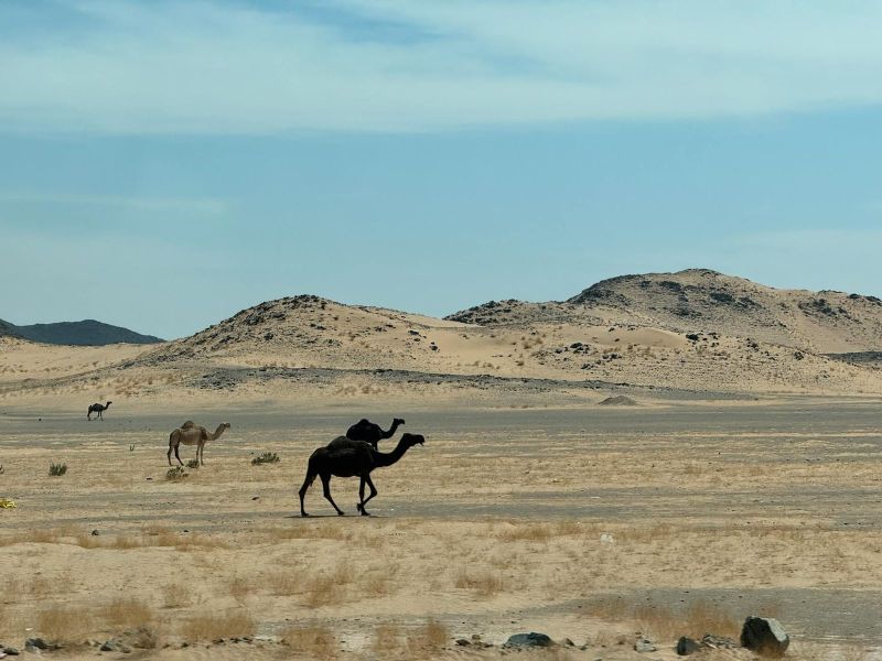
Arafat is an open plain a short distance from Makkah, and standing here on the Day of Arafah is considered the central rite of Hajj, with pilgrims gathering from midday until sunset in prayer. Outside the Hajj season the site is comparatively quiet, marked mainly by the Mount of Mercy (Jabal al-Rahmah) at its edge.
Jabal al-Nour rises on the edge of Makkah, and near its summit is the small cave of Hira, significant as the place where the Prophet Muhammad is said to have received the first revelation of the Quran. The climb is steep and has no vehicle access, so reaching the cave means a hike of an hour or more over uneven rock steps.
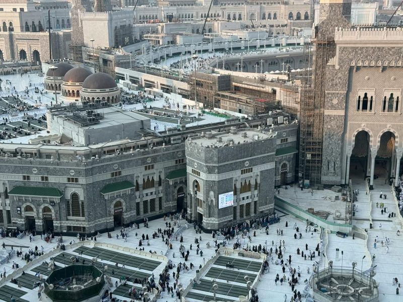
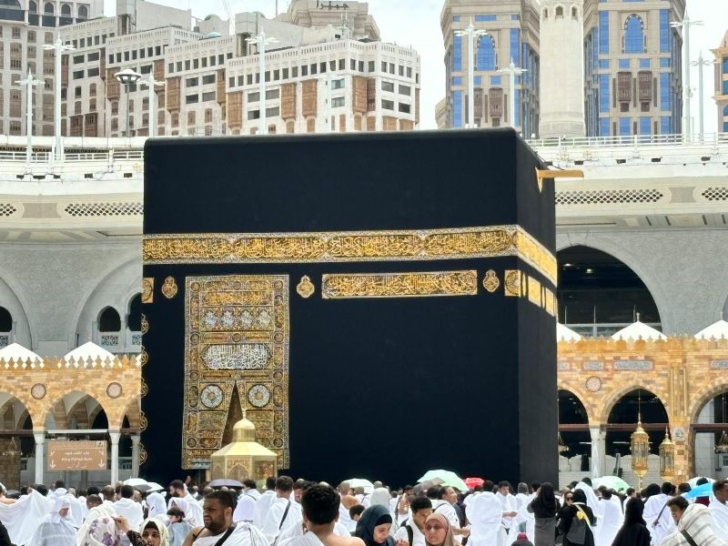
The Holy Mosque, Masjid al-Haram, surrounds the Kaaba at the centre of Makkah, the cube-shaped structure that is the qibla, the direction Muslims around the world face in prayer. Millions of pilgrims gather here each year for Hajj and throughout the year for Umrah, making it one of the largest annual gatherings of people anywhere.
Jeddah's stretch of the Red Sea coast gives reasonably easy access to coral reef without the long boat transfers some other Red Sea destinations require. Visibility is generally good year-round, and the reefs close to shore hold a mix of smaller reef fish, soft corals and occasional larger visitors further out.
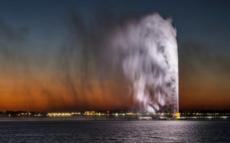
Set just offshore along the Corniche, King Fahd's Fountain pumps seawater more than 260 metres into the air, a height that for years made it the tallest fountain of its kind anywhere. It runs for set periods rather than continuously, and the jet is visible from a wide stretch of the city, not just from directly beneath it.
The Corniche runs for kilometres along Jeddah's Red Sea shoreline, a mix of landscaped promenade, public parks and open-air sculpture that has made the city something of an open-air art gallery along its waterfront. Families come out in the evenings once the heat breaks, and the stretch near the Floating Mosque is usually the busiest.
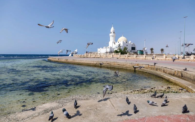
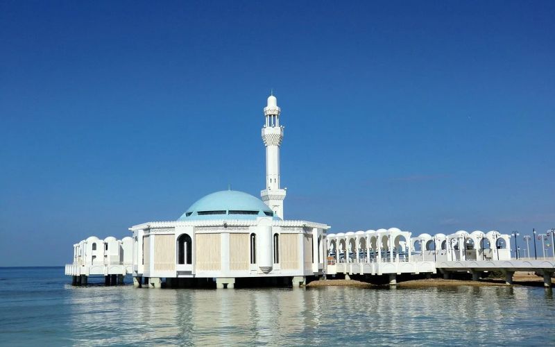
Officially the Al-Rahma Mosque, Jeddah's Floating Mosque is built on columns directly over the Red Sea shallows along the Corniche, close enough to the water that at high tide it genuinely looks like it is resting on the surface. Its white walls and domes catch the light well at any time of day, but sunset is when most visitors plan to be nearby.
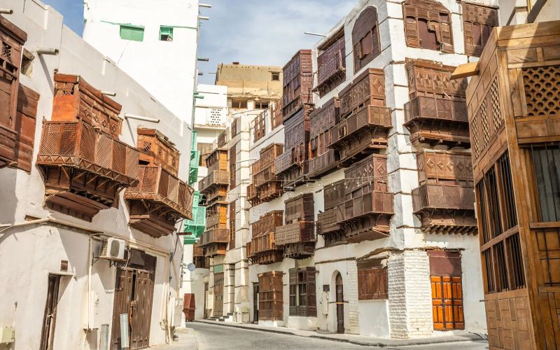
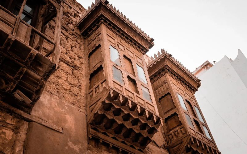
Al-Balad was Jeddah's entire city centre for most of its history, a dense quarter of coral-stone houses built close together for shade, their upper floors fitted with carved wooden balconies called rawasheen that let air through while keeping interiors private and cool. UNESCO listed the district as a World Heritage Site in 2014, recognising both the architecture and its centuries-old role as a gateway for pilgrims arriving by sea for Makkah.
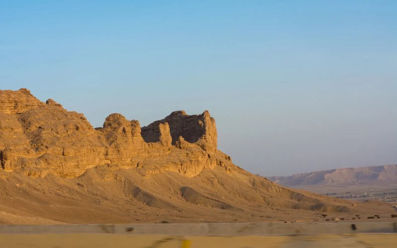
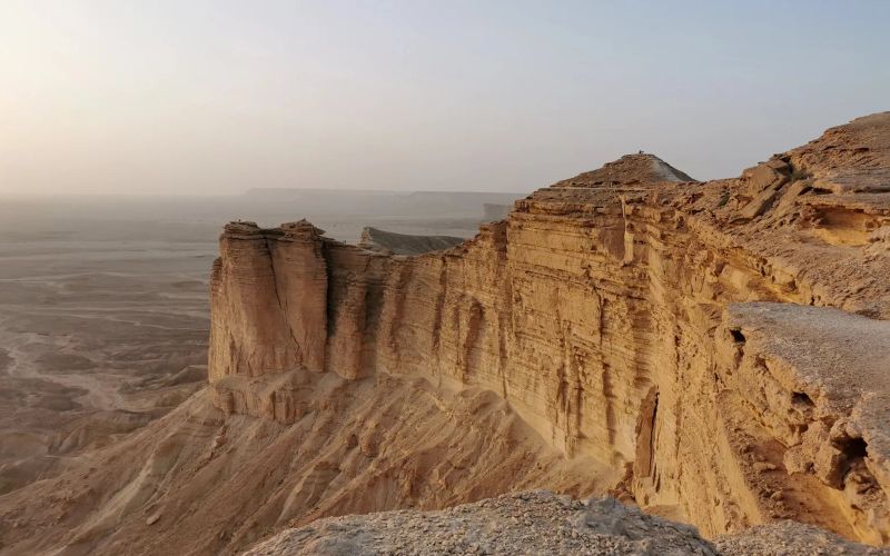
Roughly 90 minutes northwest of Riyadh, the Tuwaiq Mountains end abruptly at a cliff line that locals and visitors alike have nicknamed the Edge of the World: a sheer drop of over 300 metres to the plain below, with no barriers, no lighting and, on a clear day, a view that genuinely looks like the land simply stops. The last stretch of the drive is unpaved, so almost every visit goes by 4x4 with a guide rather than a rental car.
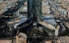
KAFD was built as a dedicated financial district on the northern edge of Riyadh, and its cluster of angular glass towers has become shorthand in photographs for the city's rapid modern growth, often paired against an older image of Riyadh for contrast. Beyond the office towers, the district has open plazas, retail space and its own elevated Monorail connecting the main buildings.
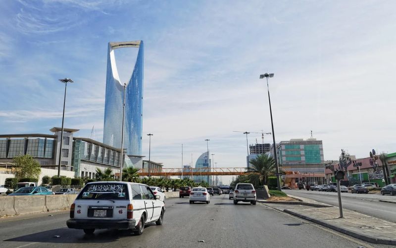
Kingdom Centre is one of Riyadh's most recognisable buildings, its inverted-arch top easy to pick out from almost anywhere in the city. A glass-floored Sky Bridge connects the two halves of that arch near the top, roughly 300 metres up, open to the public as an observation deck with a 360-degree view over the city's avenues and, on a clear day, out to the edges of Riyadh's sprawl.
Riyadh's National Museum covers the full span of the peninsula's history in eight connected galleries, starting with geology and prehistoric life, moving through pre-Islamic kingdoms and the arrival of Islam, and ending with the unification of Saudi Arabia in the 20th century. The building itself, finished in 1999, is part of the King Abdulaziz Historical Centre complex alongside Murabba Palace.
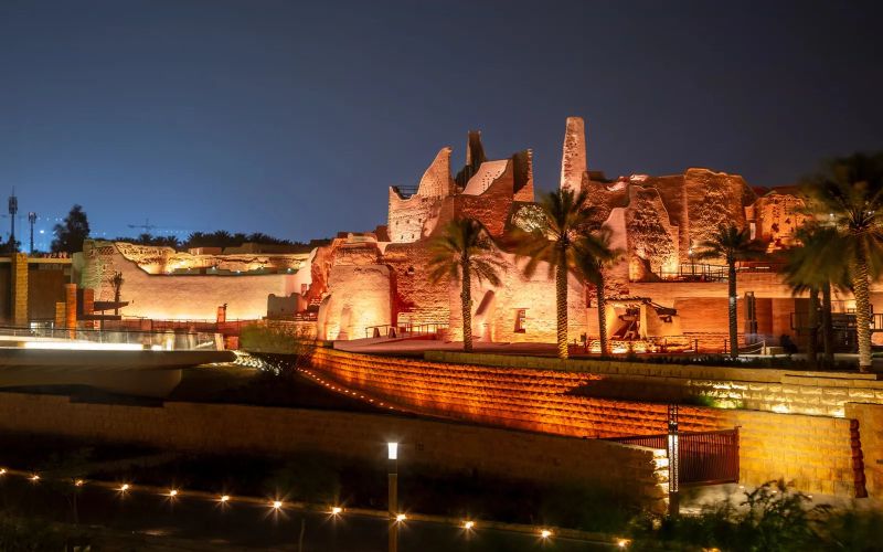
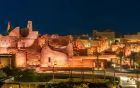
Diriyah was the seat of power for the first Saudi state, founded here in 1727 and ruling from Diriyah until an Ottoman-Egyptian force destroyed much of the city in 1818. At-Turaif, the walled district of palaces and homes built in the distinctive Najdi mud-brick style, has been restored and is now a UNESCO World Heritage Site, its narrow lanes and courtyards open to walk through.
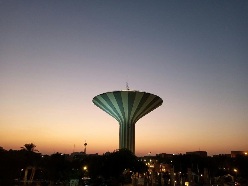
Masmak Fortress is a squat, thick-walled fort of clay and mud brick in the middle of old Riyadh, built in the 1860s and still carrying a mark from the event that made it famous: a spear tip lodged in a door, left from the 1902 raid in which Abdulaziz Al Saud retook the city and set in motion the founding of the modern Saudi state.
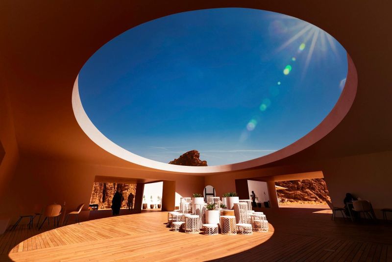
Sharaan is a protected stretch of desert and canyon country on the edge of AlUla, set aside to bring back species that had disappeared from the area, including the critically endangered Arabian leopard, alongside Nubian ibex, gazelle and other native wildlife. The terrain itself is dramatic even without the animals: deep canyons, wind-cut rock towers and open gravel plains.
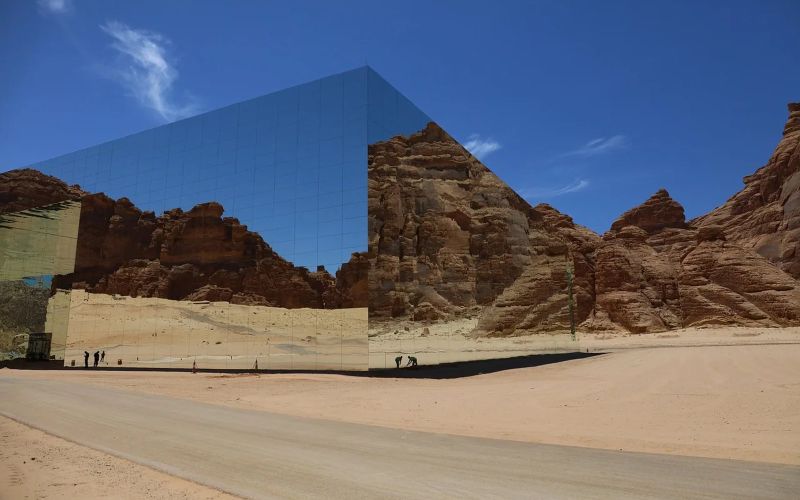
Maraya sits in AlUla's Ashar Valley, its exterior entirely clad in mirrored panels that reflect the sandstone cliffs around it so completely that the building seems to disappear into the landscape from a distance. It holds the record for the world's largest mirrored building and was built to host concerts, conferences and cultural events rather than as a monument in its own right.
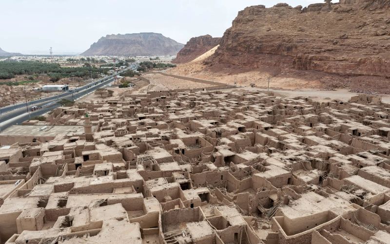
Long before AlUla became a tourism destination, its Old Town was a working settlement of mud-brick and stone houses packed along narrow, shaded lanes, built for defence and for shade in equal measure. Families lived here until the 1980s, when the last residents moved to modern housing nearby, leaving the town intact rather than demolished.
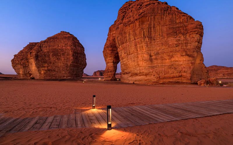
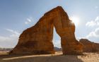
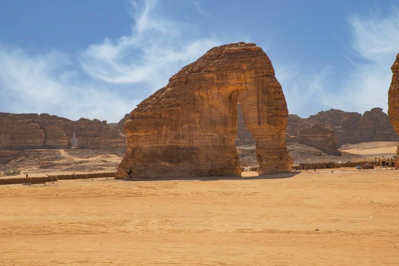
Jabal AlFil, literally "Elephant Mountain," is a freestanding sandstone formation that wind and rain have carved into an unmistakable shape: a wide arch resembling an elephant's raised trunk and front leg. It is one of the few AlUla landmarks you can walk right up to without a guided tour or a timed ticket, which is part of why it has become the valley's default sunset stop.
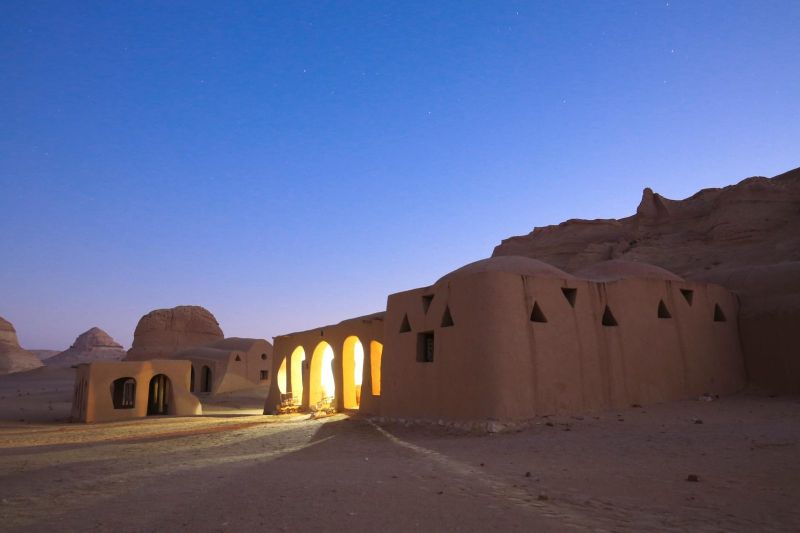
Jabal Ikmah is a narrow canyon near Dadan whose walls are covered in inscriptions left by travellers, traders and local rulers over more than a thousand years. The scripts range from Dadanitic and Lihyanitic to early Arabic and Aramaic, which is why the site is often called an open-air library: it is less a single monument than an accumulation of short messages, names and dedications carved wherever there was a flat surface.
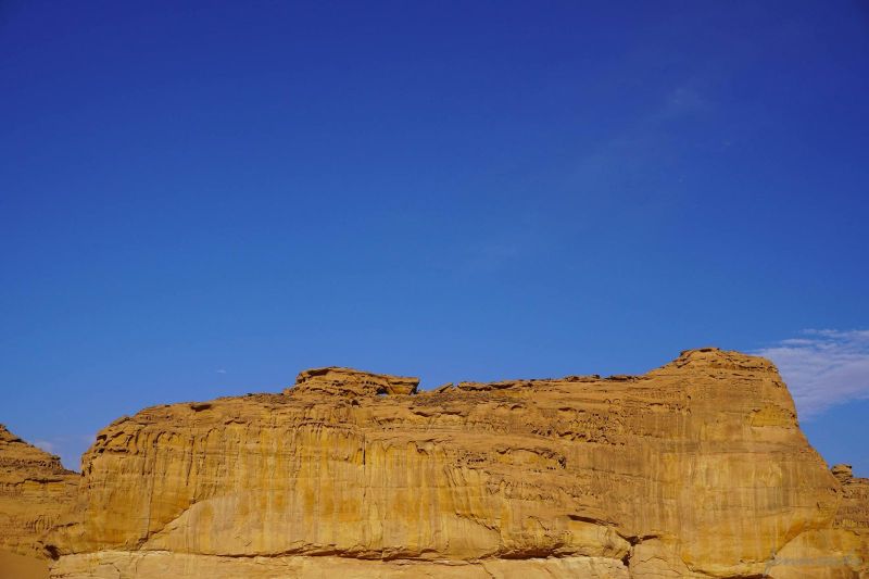
Centuries before Hegra, Dadan was the capital of two kingdoms in turn, the Dadanites and then the Lihyanites, controlling a stretch of the incense road that carried frankincense and myrrh north from southern Arabia. The site sits on the valley floor of AlUla, with its most recognisable feature carved into the cliff above: the Lion Tombs, a row of burial niches guarded by two carved lion figures that have weathered but not disappeared.
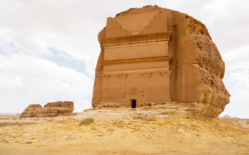
Hegra was the Nabataean kingdom's southern capital, a sister city to Petra in Jordan, built where the incense trade routes crossed the Arabian interior. More than 100 monumental tombs are cut into free-standing sandstone outcrops, their facades carved with eagles, urns and inscriptions that record who they were built for and when. Unlike Petra, Hegra was largely left alone after the Nabataeans, so the carvings are sharp and the site uncrowded.